About the study site
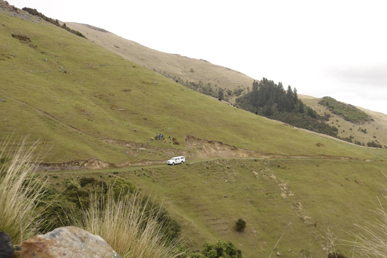
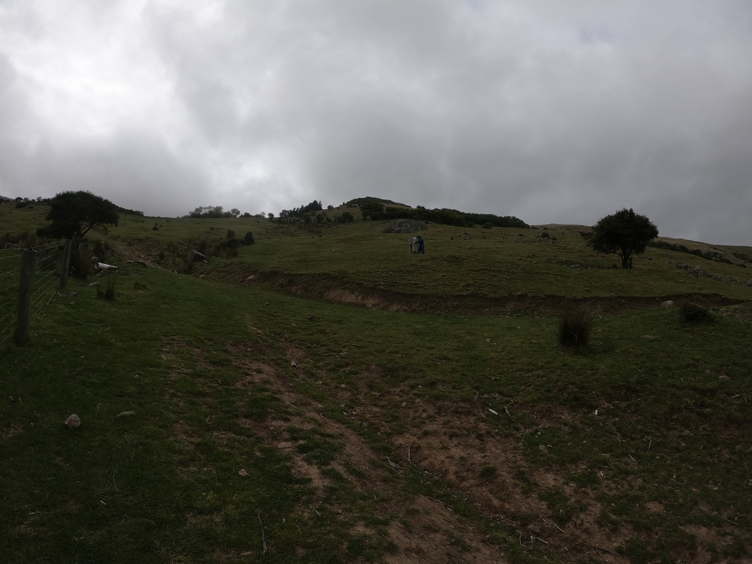
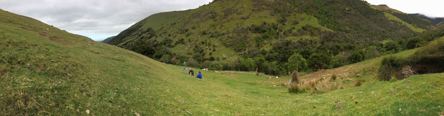
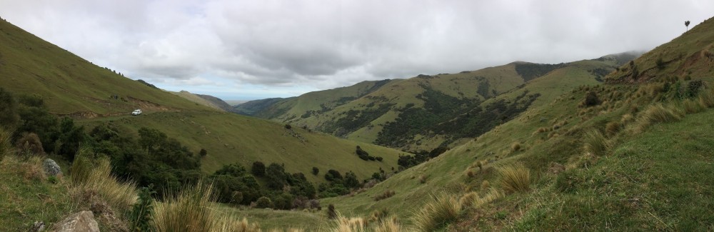
Willesden Farm, located on Banks Peninsula, Canterbury, is a 5,500 ha sheep and beef property. The property is owned by Wongan Hills Ltd and managed by Matt Iremonger. Approximately 1,200 ha is flat and cultivatable while the remainder is mostly moderate to steep hill country. Rainfall and temperature vary significantly within a short distance on this property. Annual rainfall ranges from 550 to 1,100 mm while altitude ranges from sea level to above 850 m a.s.l.
Forage trials and soil monitoring were undertaken at Willesden farm.
Forage trials
What was achieved
- Increased understanding of production differences between lucerne (improved pasture) and unimproved (resident) pasture in this hill country environment, as representative of east coast dry regions.
- Increased understanding of how the microclimates of different altitudes and aspects affect pasture production.
Study 1
What was trialled
- Annual and seasonal yield differences between lucerne (improved) and unimproved resident pastures were measured.
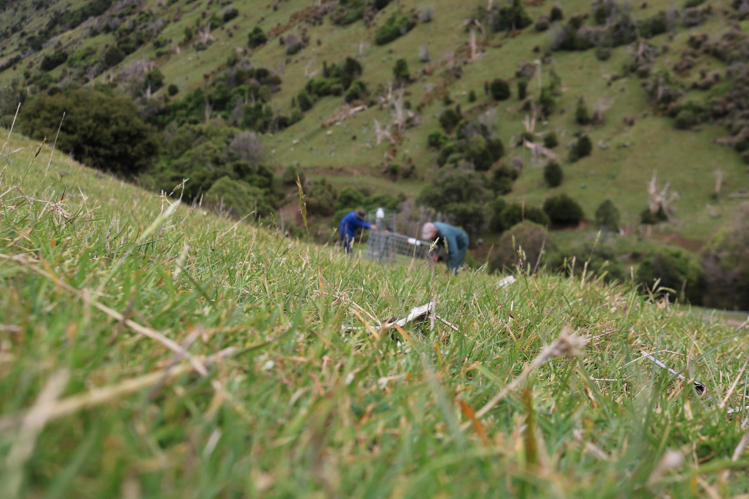
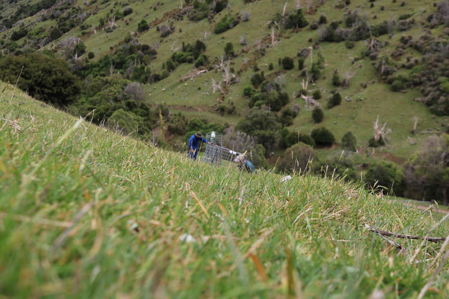
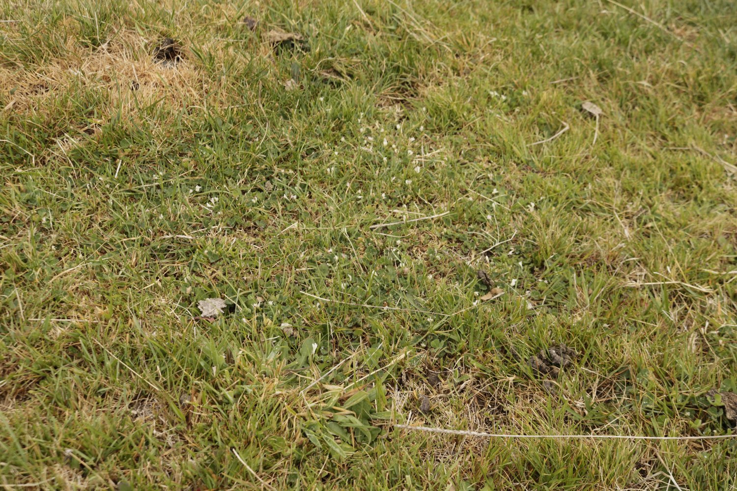
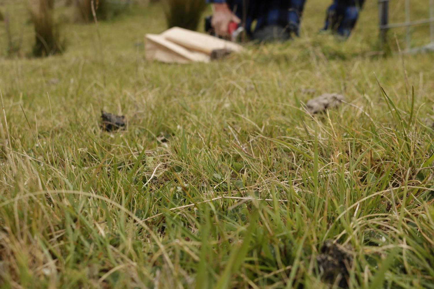
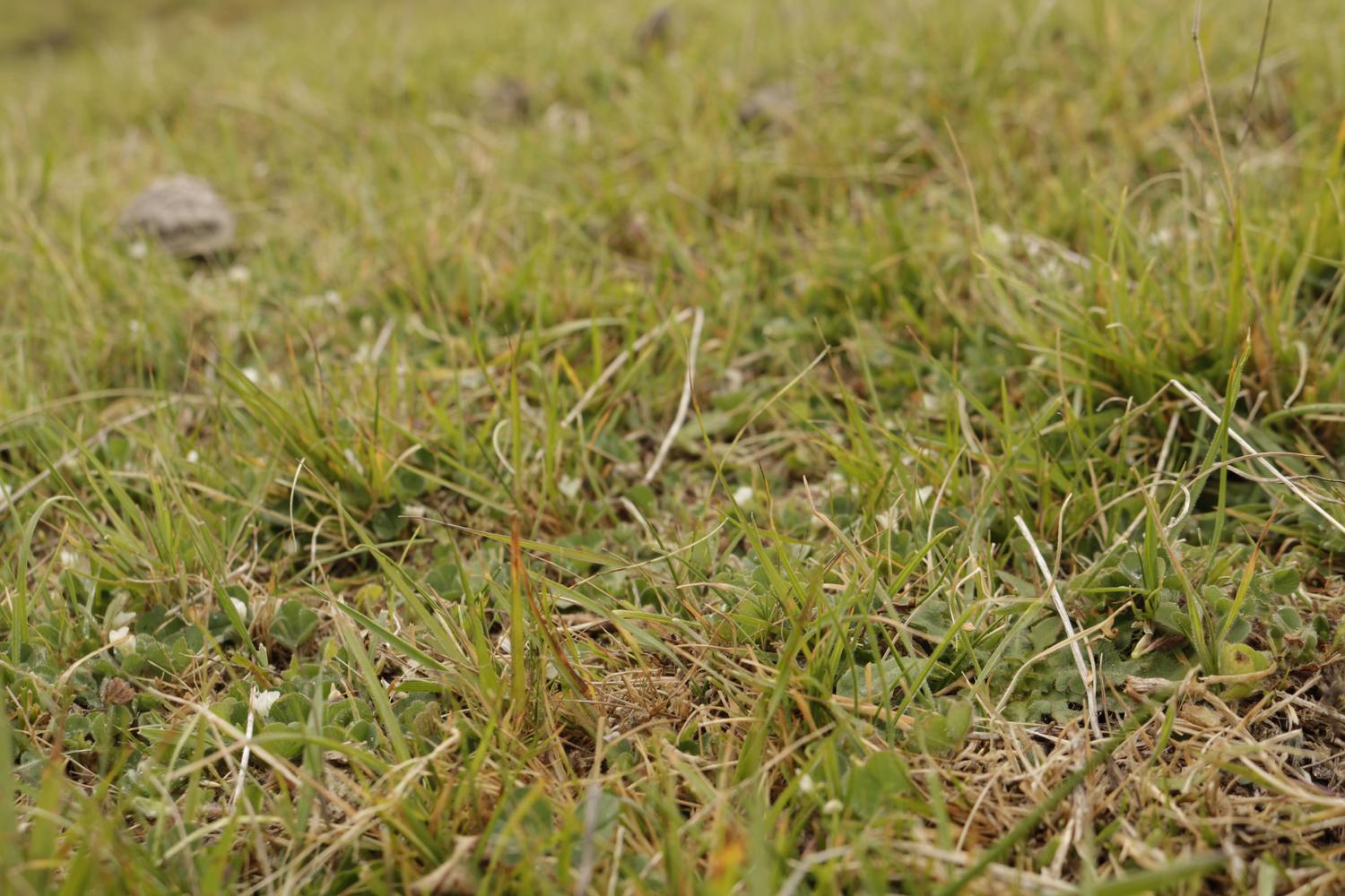
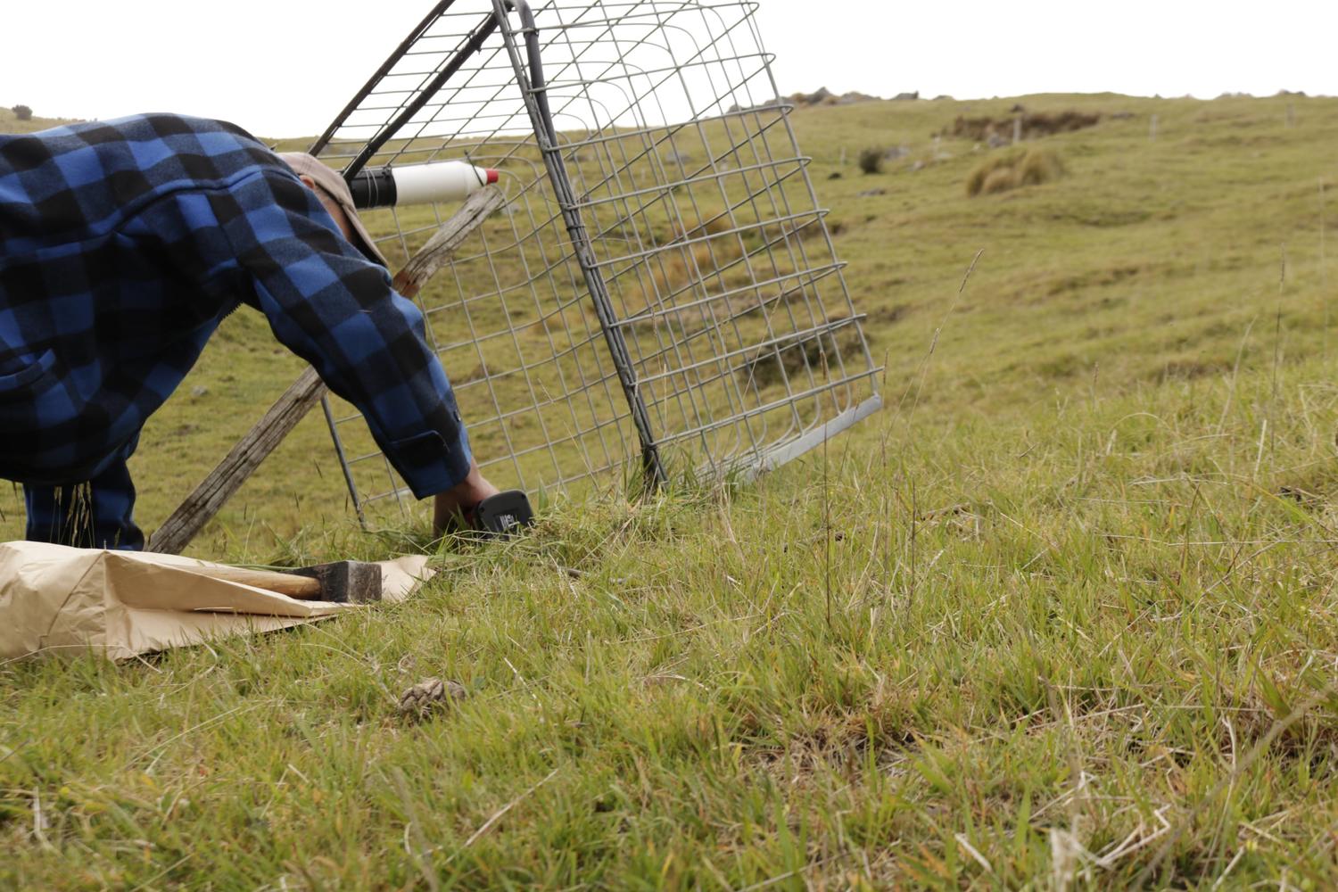
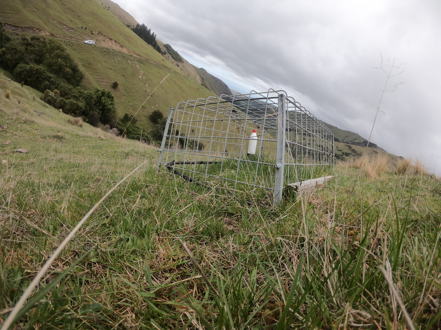
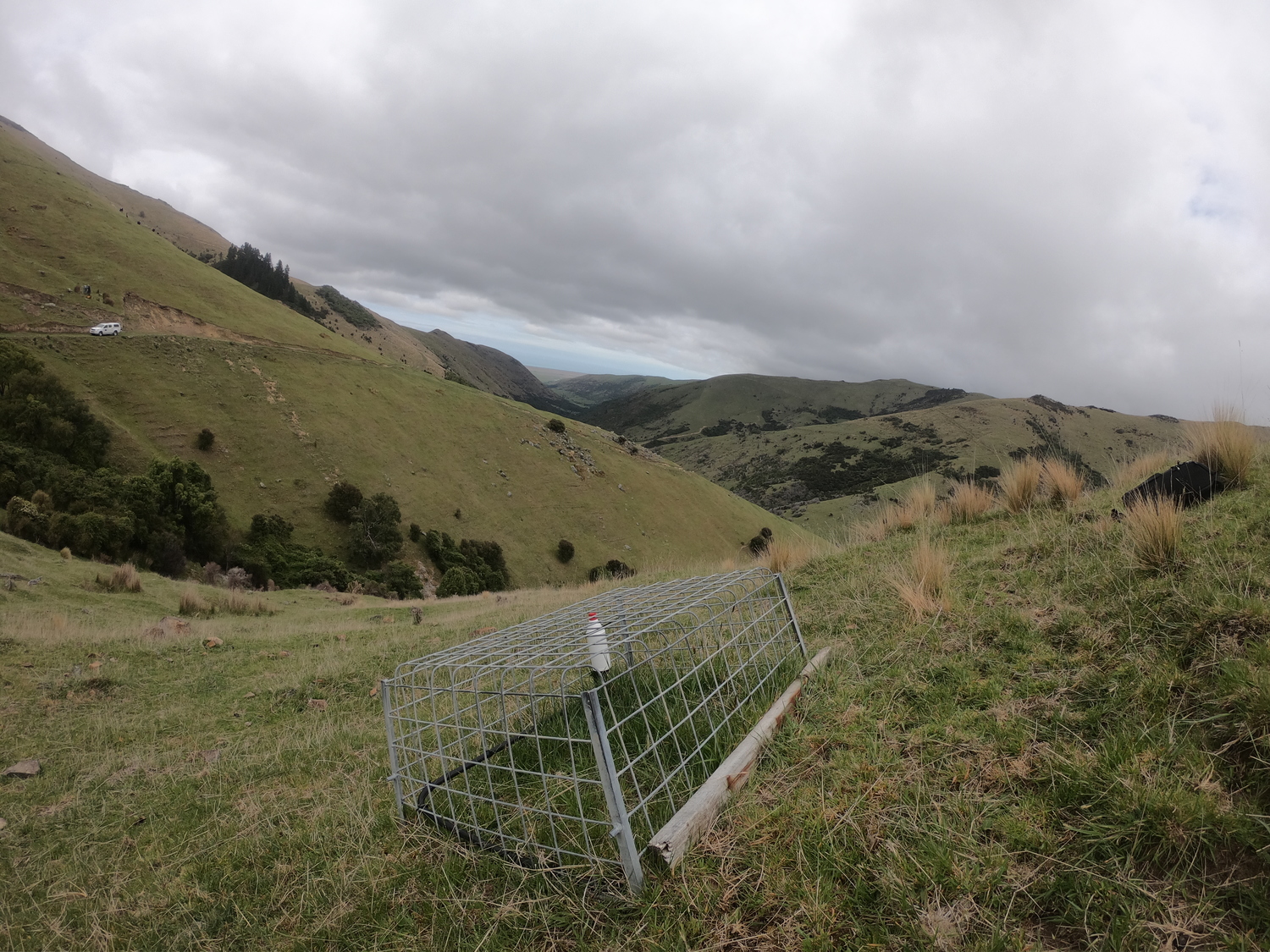
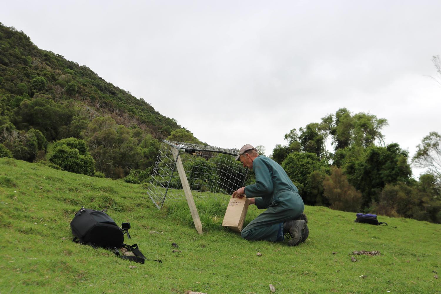
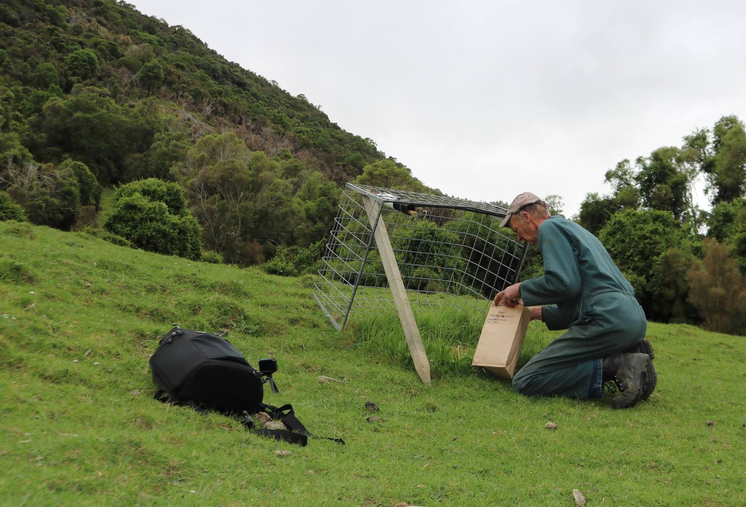
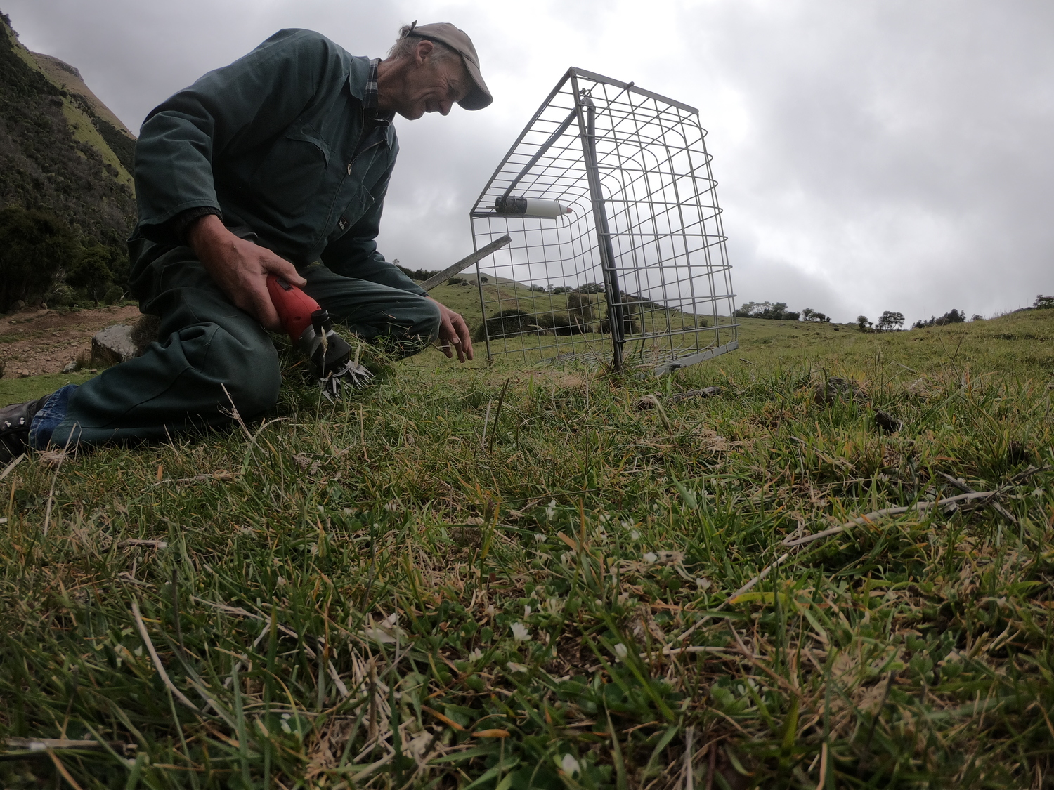
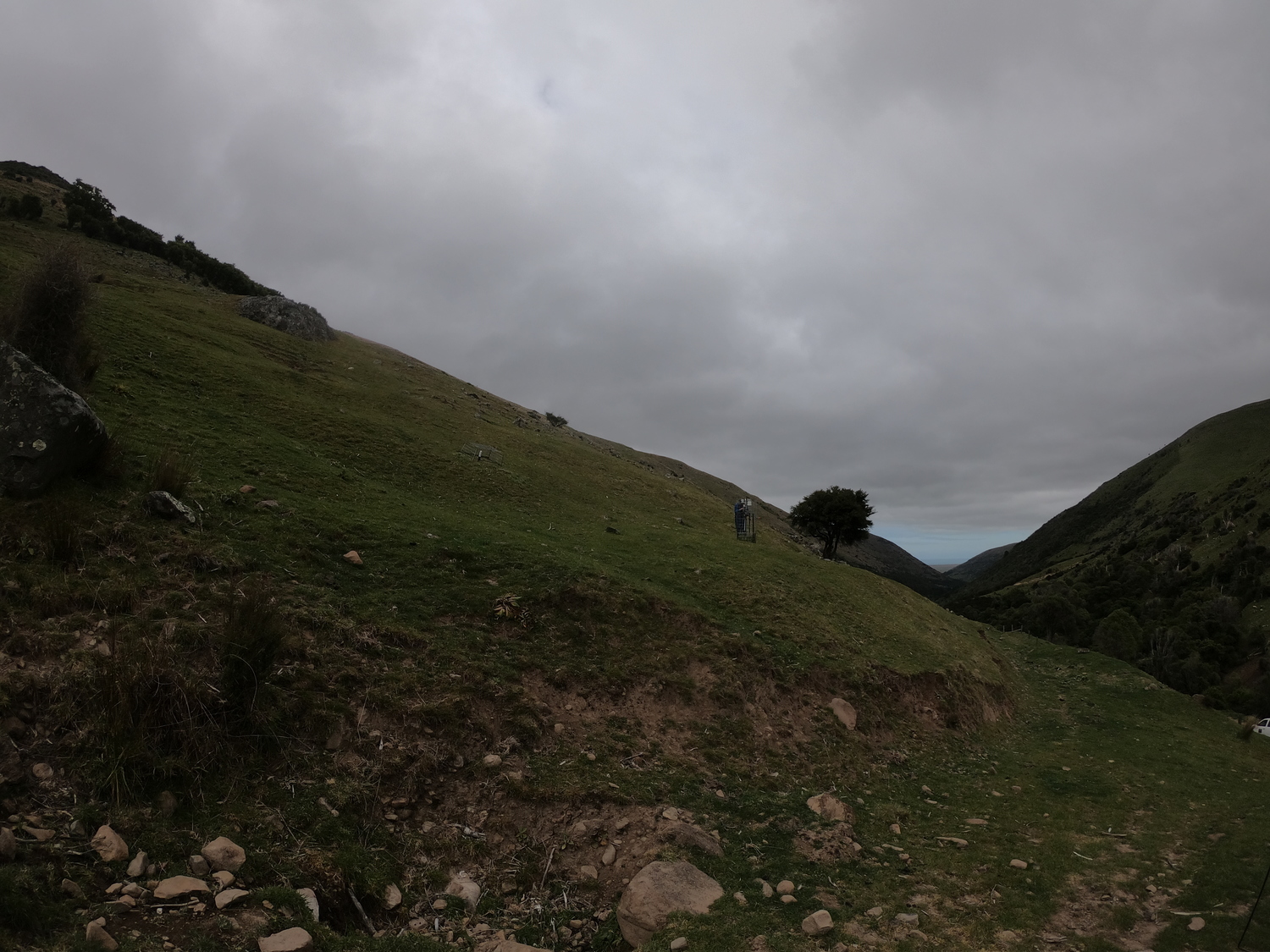
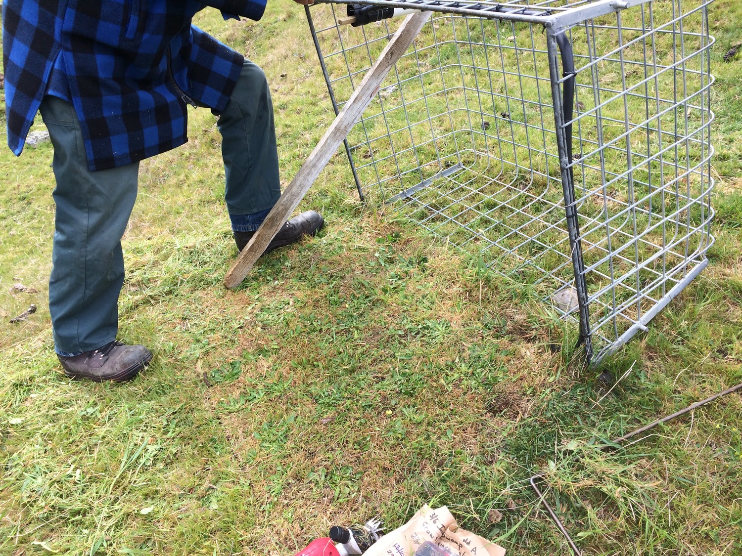
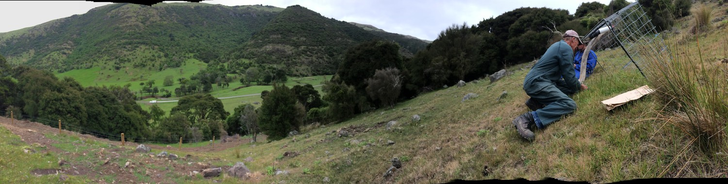
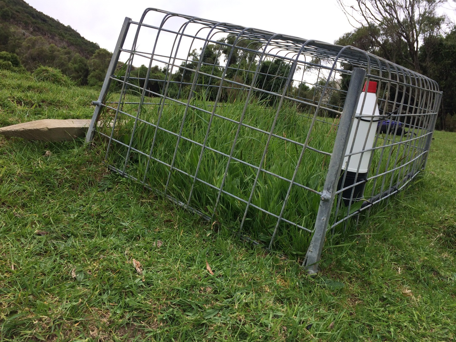
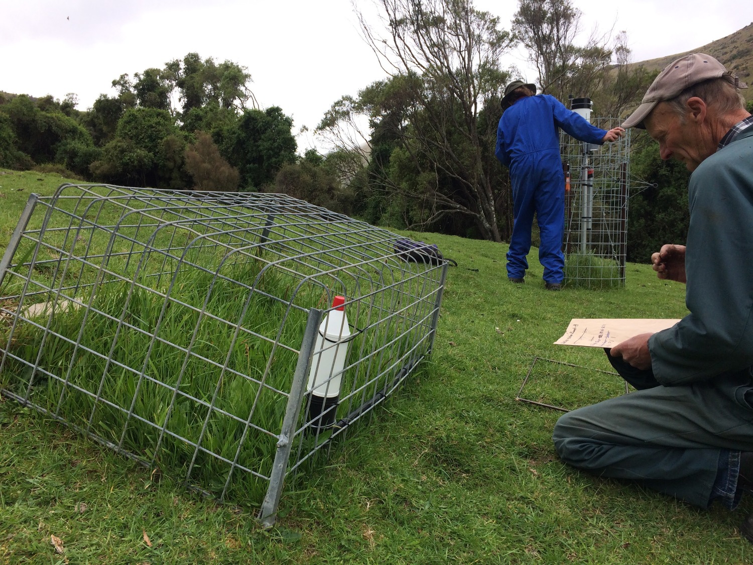
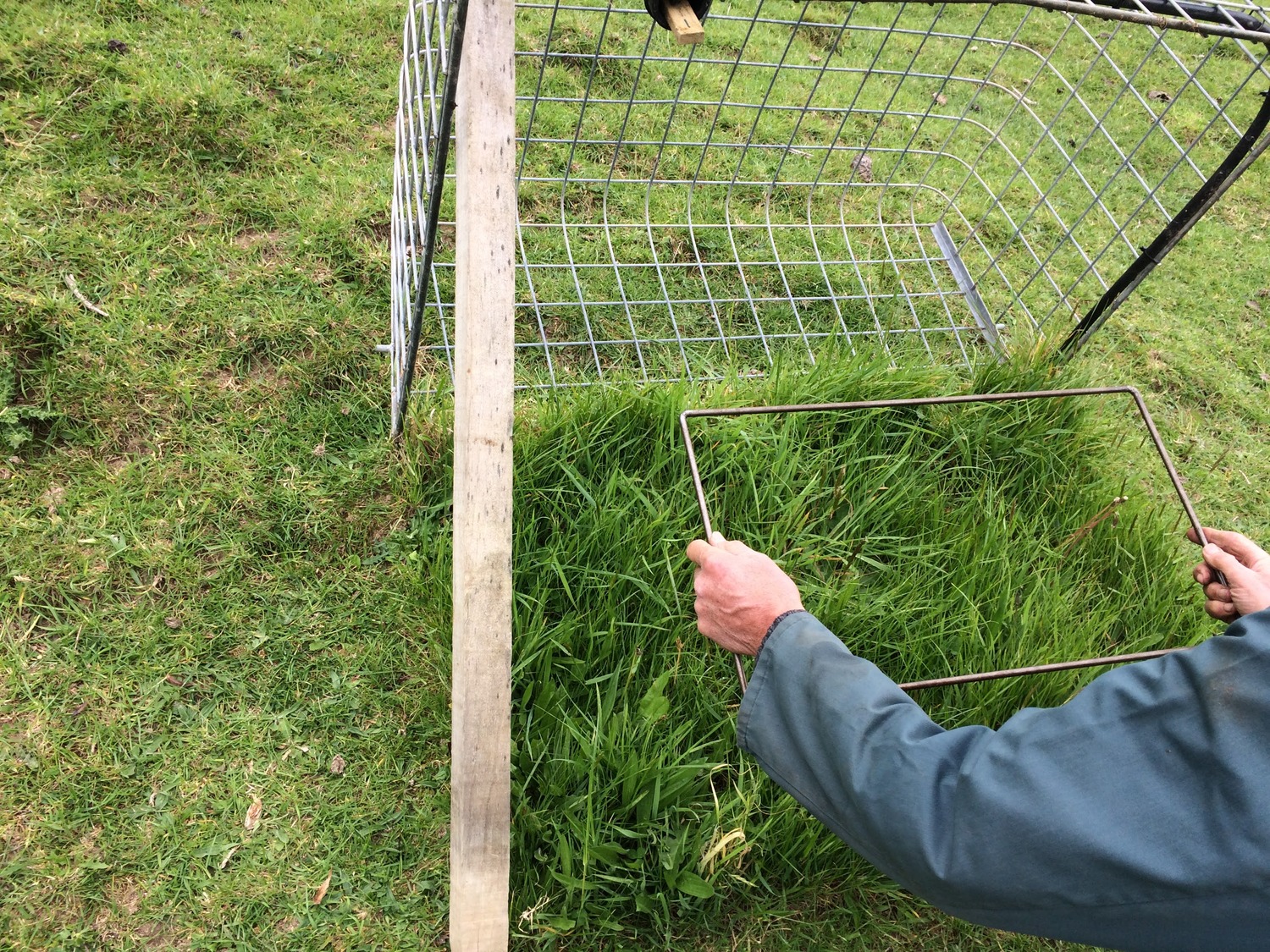
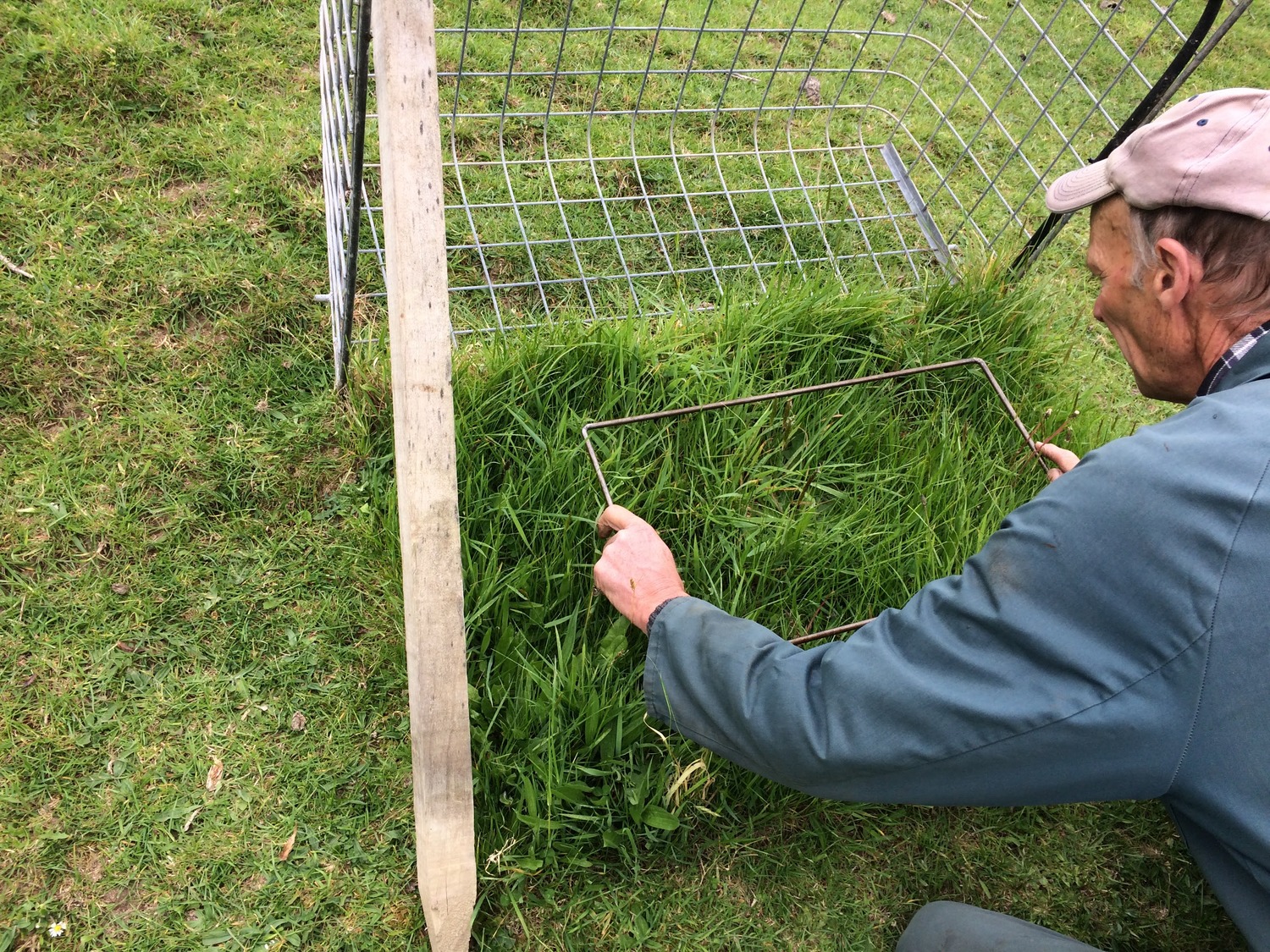
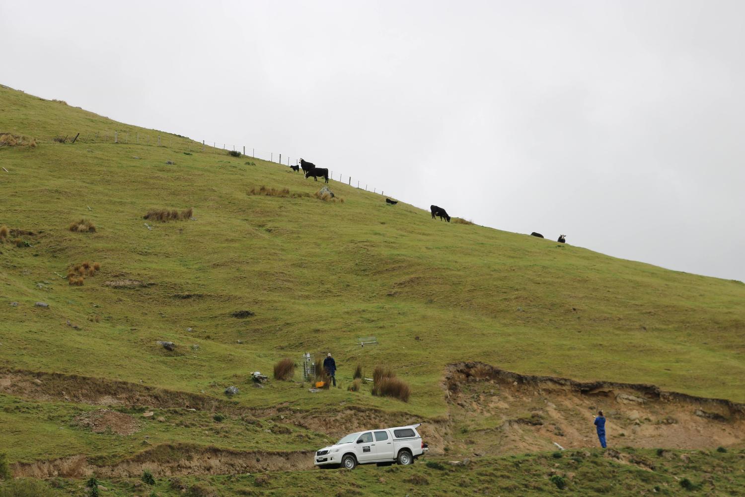
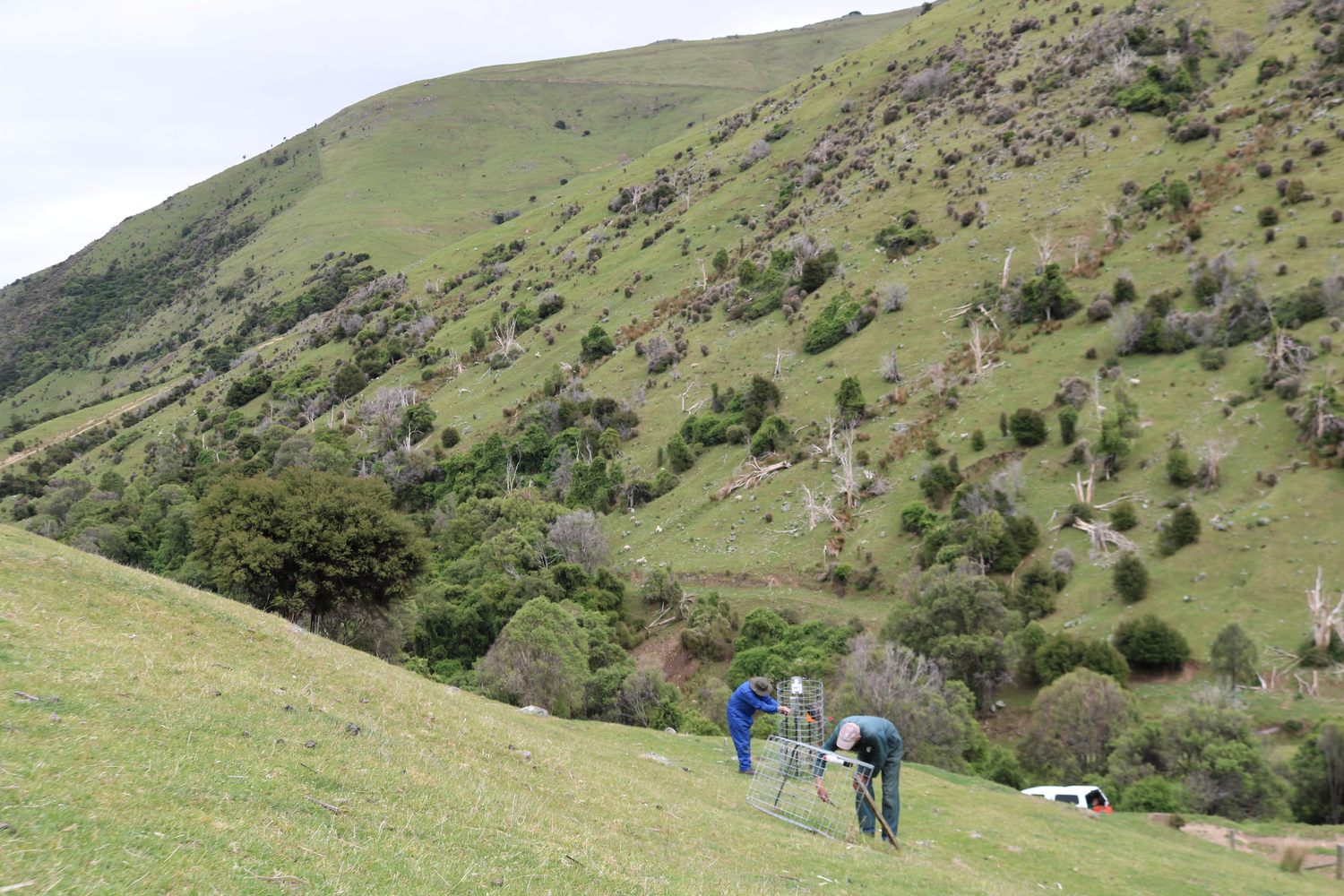
- On Willesden Farm pasture sample sites (in autumn 2019), pasture exclosure cages were placed at sample sites on improved (lucerne monoculture) and unimproved pastures at two different altitudes (20 and 175 m a.s.l.).
- Sites were monitored for three growth seasons and to spring 2022/23.
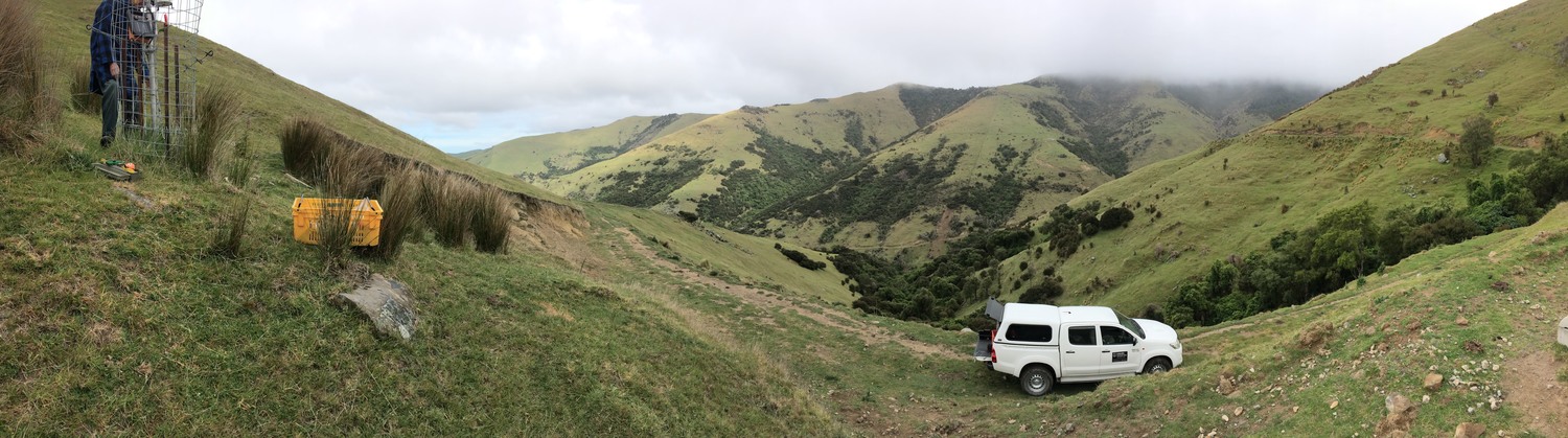
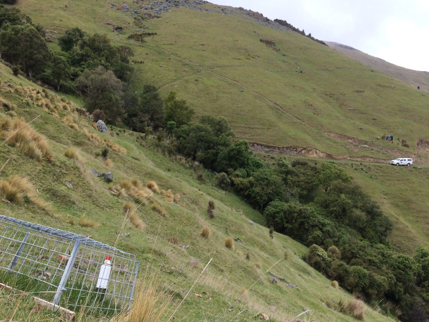
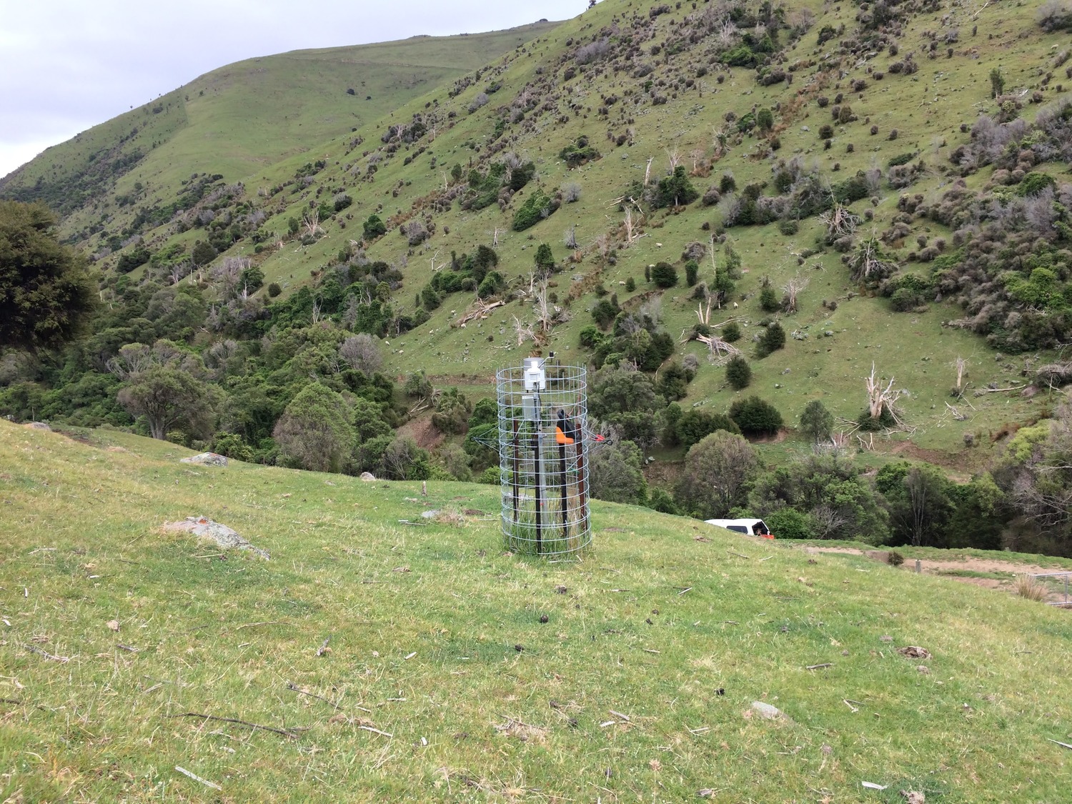
- On Prices Valley meteorological data sites — six sites were established at three different altitudes.
- Each altitude had an exclosure cage for monitoring pasture growth and soil temperature, and a weather station monitoring air temperature, rainfall, and solar radiation.
Key findings
Yield at Willesden Farm
- Annual accumulated DM produced by the dryland lucerne monocultures over three annual growth seasons (14.3 t DM/ha/yr) was 150%, or 8.7 t DM/ha more than the 5.7 t DM/ha/yr produced from unimproved dryland pastures. The range of annual production was 10.7 to 19 t DM/ha for the lucerne and 3.3 to 9.3 t DM/ha for the resident pastures. The variability was related to in-season (Nov-March) rainfall.
- The quantification of the yield difference gave the owner confidence to increase the lucerne area from 30 to over 300 ha.
- The lucerne is now used strategically to feed 3000 hoggets during lactation.
Watch this video series to learn more about how lucerne is used on Willesden farm.
Yield at Prices Valley sites
- At low altitude, annual DM production from south facing slopes was consistently superior to that measured on north facing slopes – which highlights moisture was the main limitation.
- There was little difference at the mid-altitude sites, except in the final growth season which had above average summer rainfall, which allowed growth to continue for longer on the north slope before the soils dried and pasture growth rates slowed.
- At the highest altitude (450 m a.s.l.) annual DM yield was higher from north facing slopes in two out of the three growth seasons, highlighting the additional rainfall but lower temperatures.
Study 2
What was trialled
- On farm climate data from different altitudes and aspects were compared to estimates generated by NIWA’s Virtual Climate Station Network (VCSN) at the two closest sites.
- Environmental data (air temperature, rainfall, and solar radiation) was monitored at six sites over three different altitudes in Prices Valley, in Banks Peninsula.
- Each altitude also had an exclosure cage for monitoring pasture growth.
Key findings
- Solar radiation estimates from VCSN data was reliable and consistent with onsite data and was unaffected by altitude.
- Air temperature data from the VCSN was reliable and consistent at low and mid altitude sites but was underestimated at the 450 m a.s.l. altitude site. The warm temperatures drive evapotranspiration and explains why the north slopes were lower yielding at this altitude.
- Rainfall was well estimated by VCSN at the low altitude site (50 m a.s.l.). However, as altitude increased estimates were less reliable, particularly when observed monthly rainfalls were >100 mm/month. These data suggest that above 50 m accurate rainfall estimates can only be obtained from on-stie measurement.
- Soil temperatures from VCSN were closest to temperatures recorded on south facing aspects.
- Soil temperature was underestimated at higher altitude.
- On the north facing slopes, at all altitudes, soil temperatures were underestimated by 3.0 to 5.7 °C. This means pasture growth predictions based on VCSN temperature data will be late in their estimation of the start of spring growth.
Keen to know more?
- Smith et al. 2022: Total annual and seasonal DM production of improved and unimproved resident pastures at three farms in Canterbury
Soil monitoring
What was achieved
- A wireless sensor network was established that enabled some of the first daily farm scale mapping of soil properties (temperature and moisture) in New Zealand hill country. These maps can be used to drive forage yield models and help inform decision-making on pasture management.
What was trialled
- The trial investigated the potential for modelling the distribution of soil temperature and moisture in hill country landscapes at high spatial and temporal resolution. The spatial resolution of existing widely-available soil temperature and moisture data is too coarse to provide useful information at farm scale in hill country, and is unable to account for the influence of topography in these landscapes.
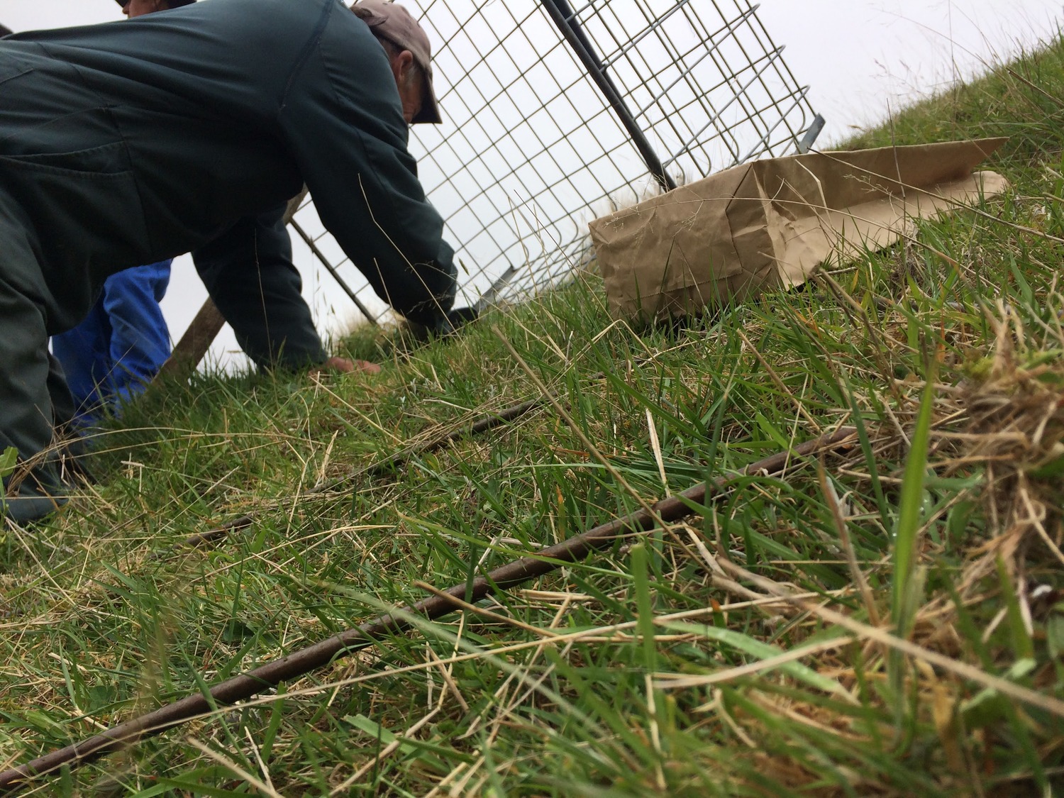
- A wireless sensor network (WSN) was installed at Willesden Farm between June and August 2020. The WSN consisted of twenty sensors installed in the soil at 30 cm depth. The sensors were distributed across the farm in a way that accounted for topographic variation in elevation, aspect (the direction a hillslope faces) and the potential for water to accumulate (strongly influenced by slope gradient). The sensors were configured to measure soil temperature and soil moisture at hourly intervals and report measurements back to a cloud database via the cellular network. On the farm, LoRa technology was used to communicate between components of the WSN.
- Statistical models were fit to the soil temperature and moisture data in order to relate those soil properties to other topographic variables including elevation, aspect and slope. The models were used to predict soil temperature and moisture across the farm at 30 m resolution at daily intervals across a generic model year.
Key findings
- The WSN performed well.
- As expected, sensor data revealed that north-facing slopes tended to be warmer and drier than south-facing slopes, which reflects the influence of topography. Interestingly, soils on north-facing slopes warmed from the winter minimum temperature through an arbitrary threshold of 10°C about 65 days faster than soils on south-facing slopes (about 54 days versus 118 days in 2021).
- The soil temperature model performed very well, but the soil moisture model performed relatively poorly. The difference in performance is due in part to differences in predictability between soil temperature and soil moisture, the former varying more smoothly and more regularly over time than the latter. Soil moisture predictions derived from the model should be interpreted with caution, but should be good enough to provide a broad indication of when soils are near field capacity versus when they are near wilting point.
- It is expected that model performance should improve with a longer time-series of data, and better sensor calibration.
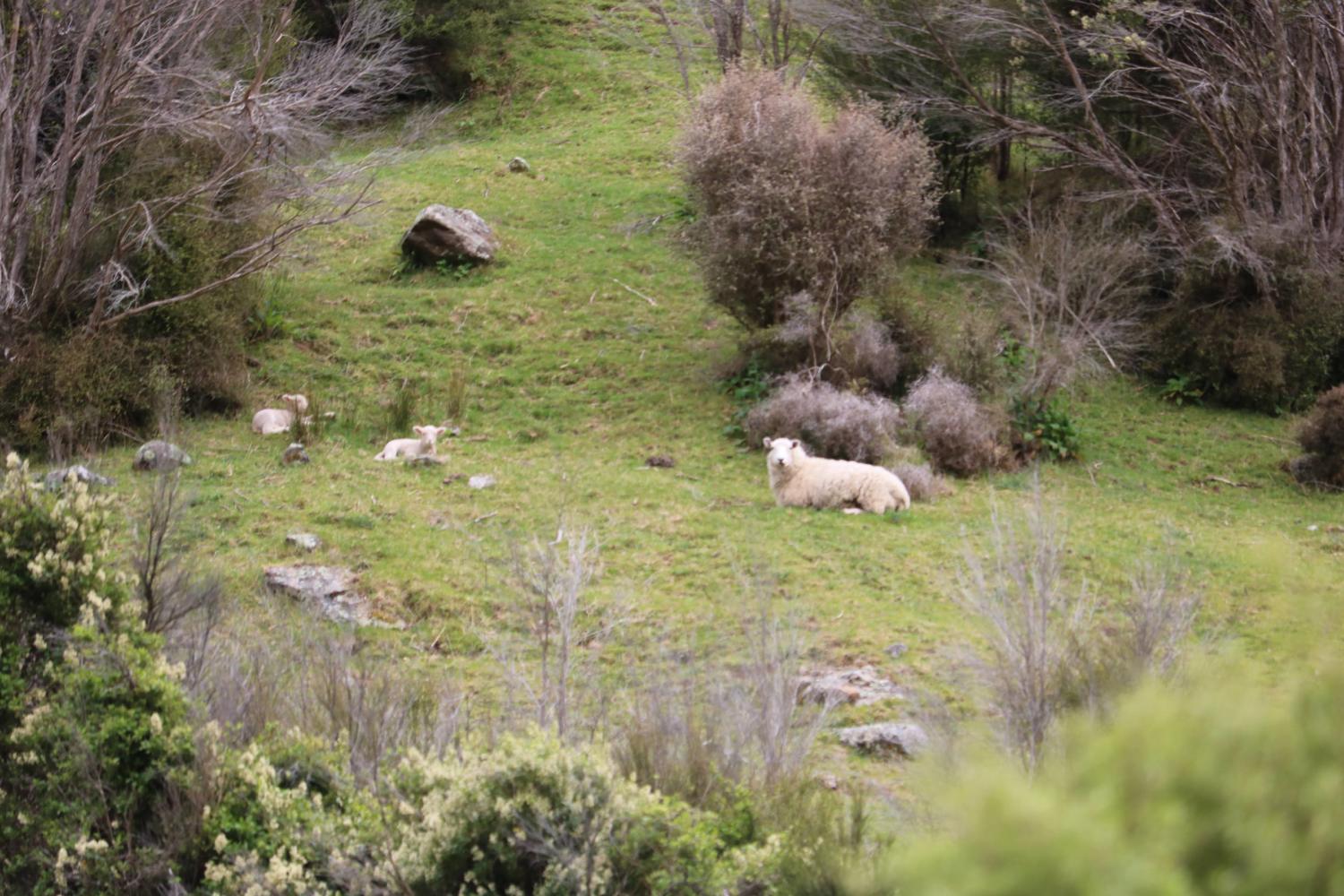
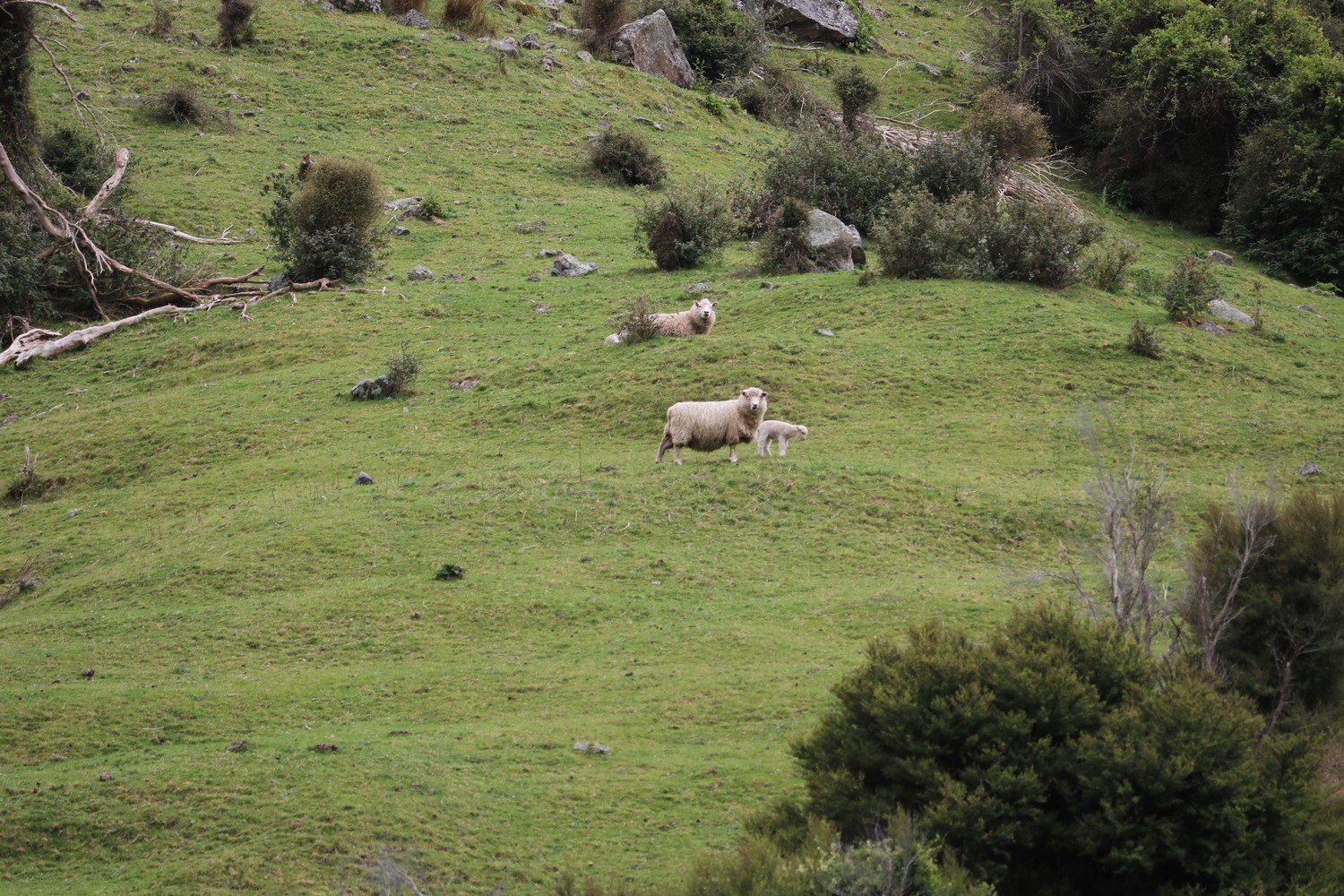
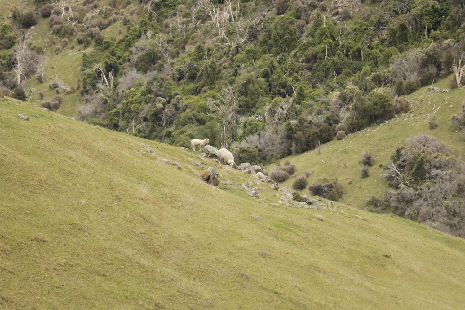
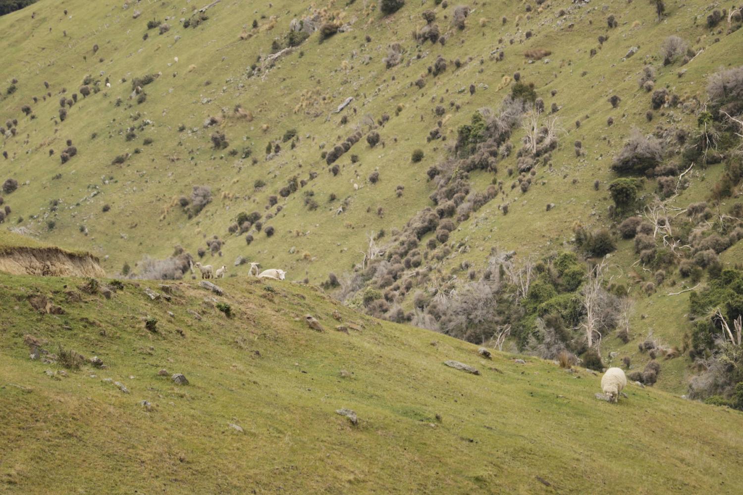
Photos of harvests on Willesden